Land feels permanent, but water tells a different story.
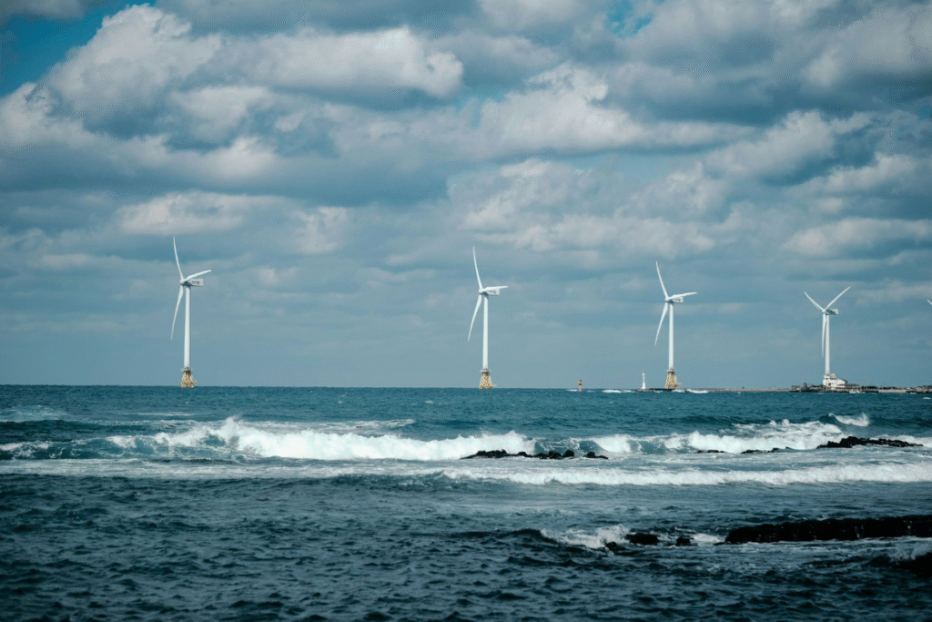
Evidence is visible along coastlines worldwide. Data from the U.S. National Oceanic and Atmospheric Administration show that global mean sea level has risen approximately 21 to 24 centimeters since 1880, with the rate accelerating in recent decades. This shift reflects water actively reshaping coastlines. The climate crisis is most immediately felt through water: intensified floods, prolonged droughts, and shifting rainfall patterns that strain ecosystems and the built environment. Understanding how water alters land is central to building resilient landscapes.
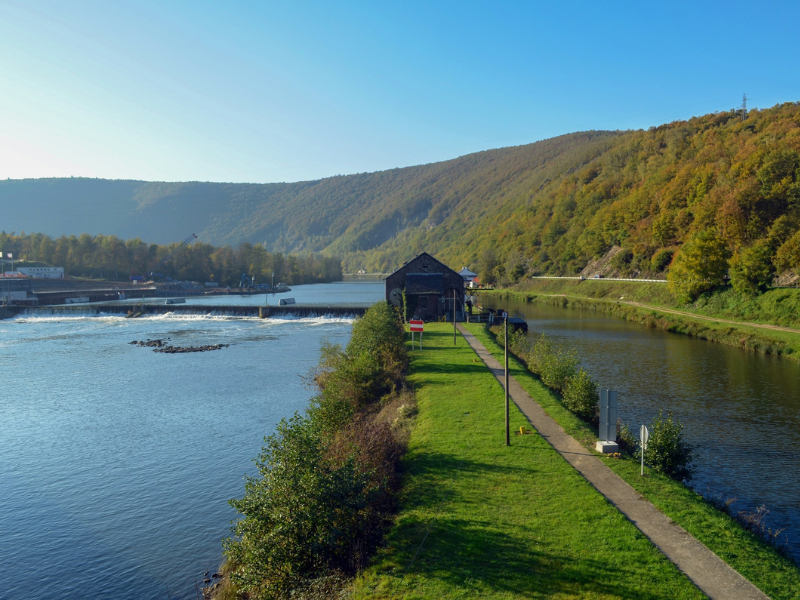
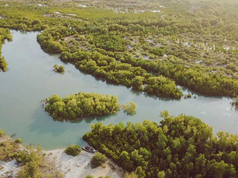
Rivers in Adjustment
When a river regains its erosive power after a base level drop, it is said to be rejuvenated. The river erodes downward, creating terraces, waterfalls, and incised bends. These are not landscape irregularities but evidence of recalibration.
A modern example of this is the North Saskatchewan River basin in western Canada. In 2025, a study in the journal Hydrology and Earth System Sciences showed that wet years raised total suspended sediment and dissolved organic carbon export in the basin. Sediment transport was more erratic, occurring in bursts, under warmer, wetter conditions. Drought years had distinct signatures: lower discharge, altered chemistry, and more concentrated pollutants.
These findings extend beyond hydrological research. More than 1.5 million people are dependent on this river for their water supply. As the effects of glacier retreat, rainfall patterns, and land use interact, rivers downstream bear the mark of these changes. The river functions both as a transport system and as a record of upstream change.
Here, water operates as infrastructure rather than metaphor.
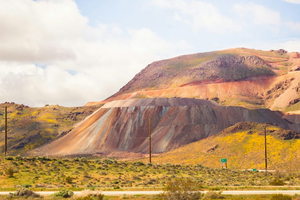
Modeling the Moving Ground
To predict erosion, something more than observation is needed. The Water Erosion Prediction Project, developed by U.S. federal scientists to replace older soil loss models, simulates the effects of climate, topography, soil, and vegetation management on runoff and sediment transport.
WEPP can be applied to hillslopes or entire watersheds. It predicts soil detachment, deposition, and sediment delivery over a storm event or a timescale of decades to centuries. Over the past decade, improvements have included the addition of new evapotranspiration models, better simulation of subsurface flow, forest canopy simulation, and winter hydrology models.
For forest managers, especially in areas prone to fires, this modeling has important implications. Following a forest fire, slopes without vegetation are susceptible to heavy rainfall. The U.S. Forest Service provides web-based WEPP tools for engineers and forest managers to calculate the post-fire sediment delivery and erosion potential. Roads, culverts, and buffers can be set accordingly.
This represents water governance informed by predictive design tools. The landscape is treated as dynamic infrastructure.
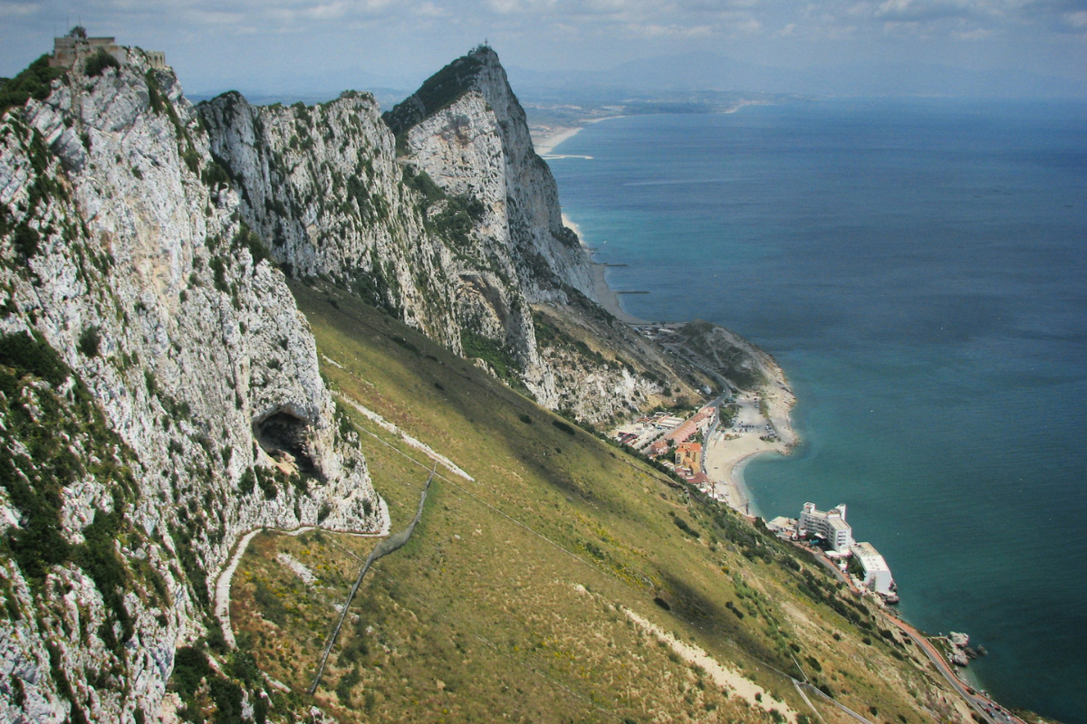
Coasts in Transition
At the coast, these shifts are more visible. A 2025 study in the Journal of Environmental Management examined the effects of sea-level rise and freshwater diversion on the southeastern Everglades. Along a salinity gradient from freshwater prairies to scrub mangrove forests, carbon exchange and ecosystem resilience were measured.
Mangrove ecosystems at the coast sequestered substantially more carbon than inland freshwater prairies. Brackish ecotones served as transition zones. As sea levels rise, these transition zones move inland. As sea levels rise, ecological boundaries shift inland, converting freshwater prairie into mangrove habitat.
The research also emphasized the imbalance of resilience. Regions that have long been affected by water diversion demonstrated lower adaptability. Connectivity, both hydrological and ecological, was a crucial factor.
Such transformations are also occurring on other low-lying coastlines around the globe. Whether wetlands remain depends on sedimentation, elevation, and human management. The shoreline is not receding evenly; rather, it is being rearranged.
The transformation occurs through gradual adjustments as much as through acute events.
Hydrologic Change as Spatial Culture
Climate change and land-use transformation alter more than water quantity. Research on hydrological impacts in Europe documents intensifying floods, prolonged droughts, shrinking snow cover, and changing precipitation regimes. Lower summer flows increase pollutant concentrations; heavy rainfall accelerates erosion and nutrient transport.
The U.S. Geological Survey’s hydrologic change research frames freshwater as a system shaped by geology, land cover, climate, and management. Institutions such as the National Center for Earth-surface Dynamics have integrated geomorphology, ecology, and engineering to understand how channel networks evolve from watershed to delta.
These insights increasingly shape spatial practice. Urban waterfronts now incorporate floodable parks and retention basins. Architects elevate structures in anticipation of higher water tables. Coastal planning integrates wetland restoration as protective infrastructure. Even aesthetic decisions such as material choice, setbacks, and surface permeability are guided by hydrological data.
Water is not merely a backdrop to culture; it structures it.
Living with Water as the Landscape Changes
To describe water as redrawing the landscape is to recognize change as an ongoing condition. Projections suggest that sea levels could rise significantly by mid-century, while glaciers in the Andes and Himalayas continue to retreat.
Rivers will carry sediment more quickly, and ecosystems will shift as human settlements are compelled to adjust to forces beyond their control.
These changes show that land is provisional. Coasts change, rivers change, soil in the forest moves downslope after a burn, and infrastructure is part of a system much larger than itself. Water culture has come to include not only recreation and beauty but also watershed modeling, flood-adaptive planning, and carbon accounting in coastal systems, and this requires the cooperation of engineers, ecologists, designers, and policymakers.
The cultural implication is clear: permanence on landscape can no longer be assumed; adaptation becomes the operating condition. Water moves through glaciers, hillslopes, wetlands, and cities, linking natural and human systems. Observing its movement reveals a landscape in continuous adjustment.
Read More on: