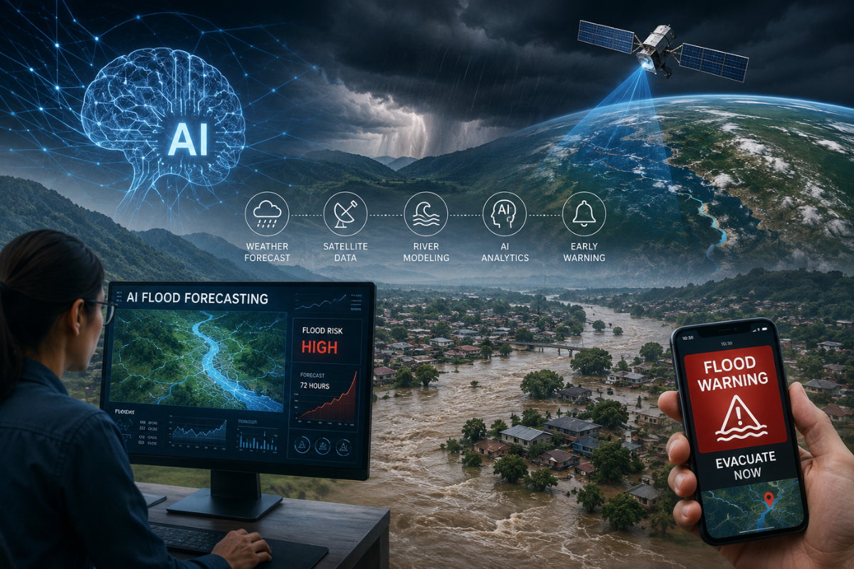

Long before floodwater reaches a home, there are signals. Rain gathers over a catchment. Soil reaches saturation. Reservoirs fill. Rivers rise. Satellites watch clouds and water from above. Somewhere downstream, a community may still be going about an ordinary day.
The challenge has always been turning those signals into enough warning to matter. Now, AI flood forecasting is beginning to change how that is done, learning from rivers, satellites, weather models and past disasters to anticipate where water could move next.
It marks a larger shift in water management: from reacting to floods toward predicting their consequences before they unfold.
The Forecast Can Be Right, and Disaster Can Still Follow
The devastating European floods of July 2021 demonstrated an uncomfortable reality.
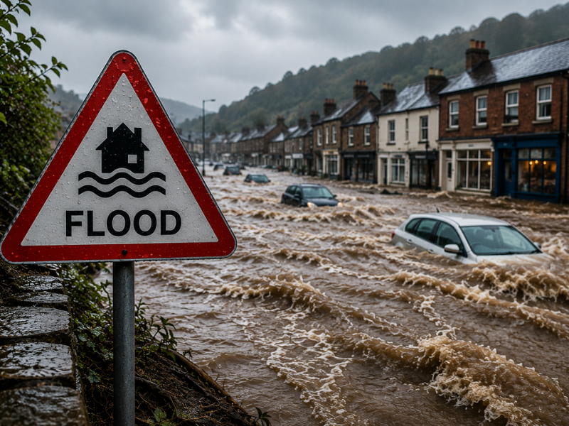
Extreme rainfall had been forecast before catastrophic flooding struck Germany and neighboring countries. In parts of the region, around 100 –150 millimeters of rain fell within 24 hours. Warnings existed, yet more than 200 people died across Western Europe.
The disaster exposed something more complicated than a failure to predict rain. A forecast still has to become a local warning that tells people what is likely to happen, where and when – and gives authorities enough confidence and time to act.
Then came Derna.
In September 2023, Storm Daniel brought extraordinary rainfall to northeastern Libya. Torrential rainfall of 150 – 240 millimeters triggered flash floods across several cities, while Al-Bayda recorded 414.1 millimeters within 24 hours. In Derna, two aging dams collapsed, releasing devastating floodwaters through the city. More than 4,300 people were later reported dead, and thousands remained missing.
Yet severe weather had not arrived entirely without warning. Libya’s National Meteorological Center had issued early warnings 72 hours before the event. The tragedy revealed a challenge that goes beyond predicting rainfall: understanding how an approaching storm could interact with vulnerable infrastructure and translating that risk into action before water reaches communities.
It would be wrong to suggest that AI could simply have prevented either tragedy. But disasters like these expose the information and response gaps that the next generation of flood systems is being designed to close.
Knowing that heavy rain is coming is one thing.
Knowing which river will overflow, which streets could disappear beneath water, and when people need to leave is another.
What Happens When AI Learns a River?
Google began its flood forecasting initiative in India in 2018, launching a pilot early-warning system in the Ganges-Brahmaputra river basin in collaboration with India’s Central Water Commission. The work later expanded into Google’s global AI flood forecasting system and Flood Hub, combining hydrological forecasting with inundation modeling to predict river flows, areas likely to flood, and potential water depths.
One of the biggest problems it tackles is surprisingly basic: many rivers around the world are poorly measured.
Traditional forecasting benefits from years of observations collected through river gauges. But monitoring networks are uneven, particularly across lower-income and remote regions.
AI can learn relationships across many river basins rather than depending exclusively on the history of one location.
Research published in Nature in 2024 found that Google’s AI-based forecasting could predict extreme river events in ungauged watersheds up to five days ahead, with reliability similar to or better than same-day forecasts from the Global Flood Awareness System. By late 2024, Google said validated forecasts covered around 100 countries and areas home to roughly 700 million people.
By 2025, significant river-flood forecasting had expanded to regions where more than two billion people live.
Then, in June 2026, another important change arrived. Google Research open-sourced its hydrology modeling framework, allowing researchers and national hydrological agencies to train AI flood forecasting models, incorporate local data and knowledge, and adapt the technology to individual watersheds and operational forecasting systems.
The future may therefore be less about one global AI predicting every flood and more about countries developing their own predictive intelligence.
A Flood Seen From Space
Above those rivers, another transformation is happening.
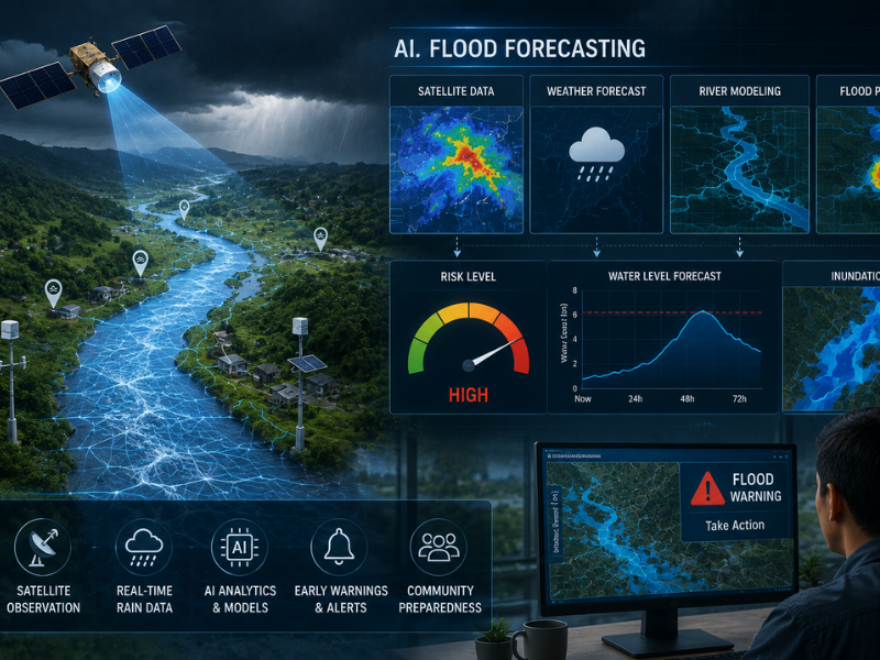
Earth-observation satellites can reveal water spreading across landscapes where sensors are limited, damaged or inaccessible. Europe’s Copernicus Emergency Management Service, for example, uses satellite imagery and geospatial information to map disasters and support authorities during flood emergencies.
This creates something flood forecasting has historically struggled to achieve: a wider picture of what the water actually did.
A model predicts where flooding will occur. Satellites observe where it occurs. Those observations can then improve datasets and future models.
For vast watersheds and regions with limited monitoring infrastructure, AI flood forecasting combined with satellite observation could help fill some of the world’s largest information gaps.
India and Europe Are Taking AI Into the Forecast Room
AI flood prediction is no longer confined to research laboratories.
India’s Central Water Commission has been developing AI and machine-learning models for short-range flood forecasting. An official Lok Sabha Standing Committee report says CWC planned to introduce centralized automated AI/ML short-range forecasting at selected stations from 2025, then add further stations in phases and work toward pan-India coverage.
Europe is pursuing a hybrid approach.
In September 2025, forecasts from ECMWF’s Artificial Intelligence Forecasting System began feeding into the European Flood Awareness System and Global Flood Awareness System.
The significance is not that AI has replaced conventional forecasting.
It has not.
Instead, machine learning is being combined with numerical weather prediction, hydrological models, river gauges, satellite observations and professional forecasters.
That may prove more valuable than an entirely autonomous system: several ways of seeing the same approaching flood.
What If a City Could Experience Tomorrow’s Flood Today?
Predicting water is useful. Simulating what the water will do next could be transformative.
That is where digital twins enter the story.
A digital twin creates a virtual representation of a physical system – perhaps a dam, river basin, or city – that can be updated with real-world information.
In 2025, South Korea moved to strengthen its flood forecasting system by incorporating digital-twin technology, using expected rainfall and dam-discharge data to simulate flood scenarios in a three-dimensional virtual environment and identify vulnerable areas before flooding occurs. The system allows water managers to visualize dams and rivers in three dimensions and simulate how changing river levels or dam releases could affect downstream areas.
Europe’s Destination Earth program takes the concept further, developing digital representations of Earth capable of simulating environmental change and extreme events.
Imagine a city facing an approaching storm.
Instead of asking only, Will it flood?, planners could ask: What happens if another 100 millimeters of rain falls? Which roads become inaccessible first? What happens if a reservoir releases water now? Which communities need to move first?
Forecasting then becomes rehearsal.
Now AI Is Going After Flash Floods
There is still a harder problem.
Flash floods can develop with extraordinary speed, particularly where intense rainfall meets steep terrain, paved cities or overwhelmed drainage systems.
In 2026, Google Research announced an AI-driven approach to urban flash-flood forecasting, including a system called Groundsource that can extract structured information about historical flooding from public reports.
That matters because a flood does not need to have passed a river gauge to have left evidence behind.
AI may increasingly learn from that scattered history.
But there are limitations. Historical records can be incomplete. Some communities are documented far better than others. Weather forecasts remain uncertain. Cities change. And under climate change, tomorrow’s extreme event may exceed what yesterday’s data taught a model to expect.
AI does not eliminate uncertainty.
It gives forecasters another way to understand it.
The Most Important Prediction Comes After the Forecast
Technology alone did not explain what went wrong in Germany. Better algorithms alone could not have maintained the dams above Derna.
That distinction matters.
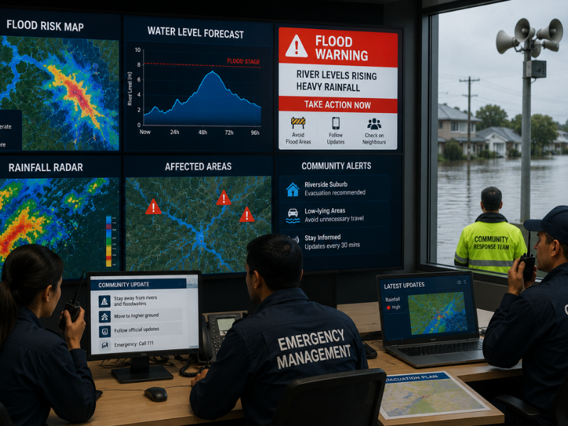
A flood forecast becomes valuable only when someone can use it.
At the launch of the UN’s Early Warnings for All Action Plan, Secretary-General António Guterres stressed the value of universal warning coverage, noting that just 24 hours’ notice of an impending hazardous event can cut damage by 30%, while helping vulnerable communities protect lives and livelihoods. Yet early-warning coverage remains incomplete around the world, particularly in vulnerable countries.
So the real measure of AI flood forecasting will not be how impressive its models become.
It will be whether a prediction arrives early enough, becomes specific enough and reaches the people capable of doing something with it.
Close the bridge.
Change the reservoir release.
Move emergency equipment.
Warn the neighborhood.
Leave before the road disappears.
Artificial intelligence cannot hold back a river. But it may help us understand where that river is going before it gets there.
And in flood management, the most valuable thing AI may ever predict is not simply water.
It is time to act.
Read More on: